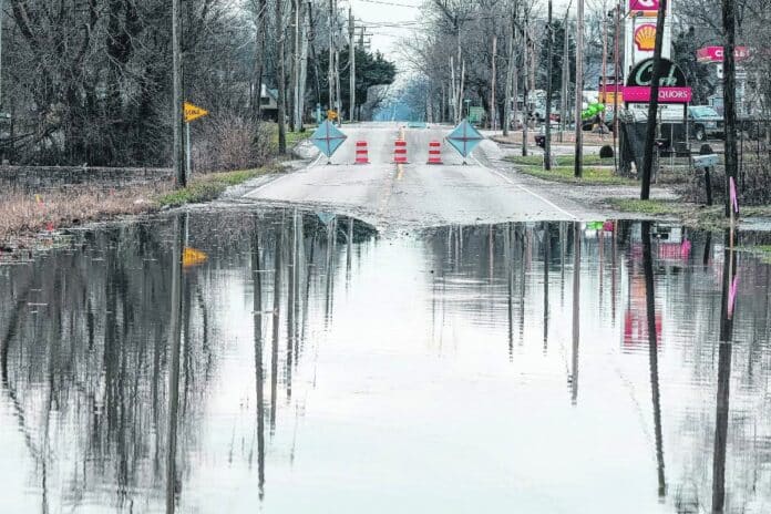
COLUMBUS, Ind. — Columbus officials have approved a new, conceptual alignment for a potential road that would serve as an alternative to State Road 11.
The Columbus City Council passed a resolution Tuesday updating the Thoroughfare Plan Map. The changes include a revision to the alignment of a potential new north-south road running from State Road 46 to County Road 450S, which city officials say could be a largely flood-free alternative to State Road 11.
City-County Planning Director Jeff Bergman said that the Thoroughfare Plan is an element of the city’s current Comprehensive Plan. It includes thoroughfare policies and a map applying those policies to the city. The map also provides classifications for street functions and suggests future projects.
The plan’s main purpose is to “anticipate future growth and development and then anticipate what transportation improvements are going to be needed to accommodate that,” Bergman said.
For the complete story, see Thursday’s Republic.


