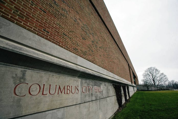
The Columbus City Council voted 8-0 to approve the second reading of an ordinance that annexes into Columbus nearly 41 acres of public property or right-of-way adjacent to the city.
City-County Director of Planning Jeff Bergman described the right-of-way annexation as “a bit of a side project” of the planning department, with a goal of reducing any confusion that may occur on behalf of the city and county regarding which areas are under what jurisdiction.
The annexation involves 29 locations on 22 streets and does not include any homes. The Columbus Plan Commission forwarded a favorable recommendation to the council on the matter during its Feb. 14 meeting.
The move adds 6-and-a-half linear miles of additional street maintenance responsibility for the city and an additional 3-and-a-half linear miles for snow removal.
Bergman said the planning department’s Ashley Beckort, the city engineers office, the county highway department, and the department of public works had been identifying places on the city’s perimeter where, operating under current annexation law, it made sense to annex the entire road, Bergman said.
For example, because annexation law has changed over time, there are instances where past annexations only extended to the adjacent’s streets centerline, rather than including the right-of-way in its entirety.
Examples of this include 300 West at the Woodside South Industrial Park and Sawin Drive at the Villas of Stonecrest, according to a planning department memorandum sent to the council.
As with all annexations, the road segments had to be 1/8 contiguous to the current city limits. Bergman said all of the sites ranged between 44% and 60% contiguous.
The streets involved include:
- 150W, between 300S (N) and Wrenwood Drive (S)
- 25S, near the intersection with Goeller Boulevard
- 300W, south of 450S, along Woodside South Industrial Park
- 400N, between River Road (E) and the Flatrock River (W)
- 450S/I-65 intersection, at the southwest corner
- 50N, between National Road (W) and Bull Run (E)
- 500N, between 25E (W) and Marr Road (E)
- Carlos Folger Road, between 350W (W) and Two Mile House Road (E)
- Carr Hill Court, between Carr Hill Road (S) and Carr Hill Road (N)
- Carr Hill Road, between Carr Hill Court (W) and Canyon Oak Lane (E)
- Carr Hill Road, between Tipton Point Court (W) and Carr Hill Court (E)
- Carr Hill Road, between 475W (W) and Tipton Pointe Court (E)
- An unnamed public right-of-way (currently a State Road, but INDOT is working on relinquishing it to the city), north of Jonathan Moore Pike between Carr Hill Road (E) and I-65 (W)
- Goeller Boulevard, between Tipton Lakes Boulevard (W) and Terrace Lake Road (E)
- Goeller Road, between 475W (W) and Westcreek Drive (E)
- Goeller Road, between Channel Drive (W) and Southhaven Lane (E)
- Goeller Road, between Stonehaven Lane (W) and 350W (E)
- I-65, south of 450 South, along Woodside South Industrial Park
- Jonathan Moore Pike (State Road 46), between 500 W (W) and Belmont Drive (E)
- Lowell Road, between 200W (W) and Carter Crossing Boulevard (E)
- Marr Road/Sawin Drive intersection, on the north side of the intersection of Marr Road and Sawin Drive
- McKinley Avenue, between Marr Road (W) and Clifty Creek (E)
- National Road/Taylor Road intersection, between Taylor Road (NW) and 50 N (SE)
- River Road, between 400 North (S) and 25 E (N)
- Rocky Ford Road/Marr Road intersection, between Rocky Ford (S) and Station Drive (N)
- Sawin Drive, between Talley Road (E) and Highview Way (W)
- State Street (State Road 46), between Fairview Drive (NW) and Clifty Creek (SE)


