
6 P.M. UPDATE
A winter storm warning remains in effect through 7 a.m. Monday.
A cold weather advisory in effect from midnight tonight through 7 p.m. Monday.
An extreme cold warning is in effect from 7 p.m. Monday through 9 a.m. Tuesday.
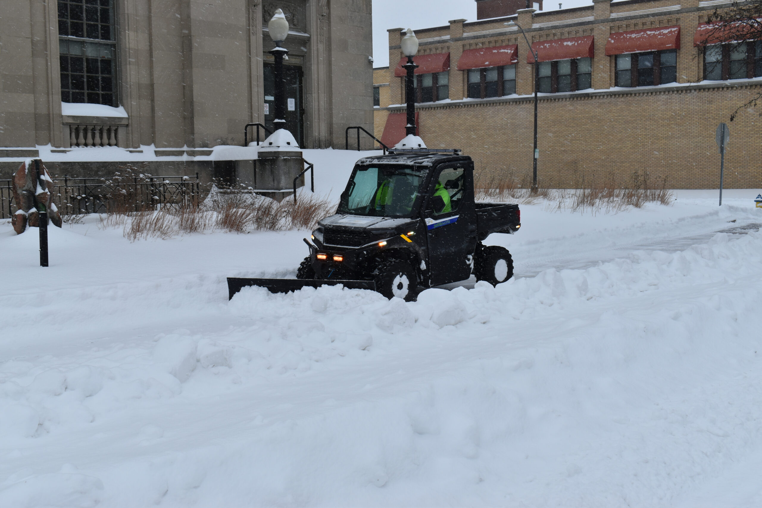
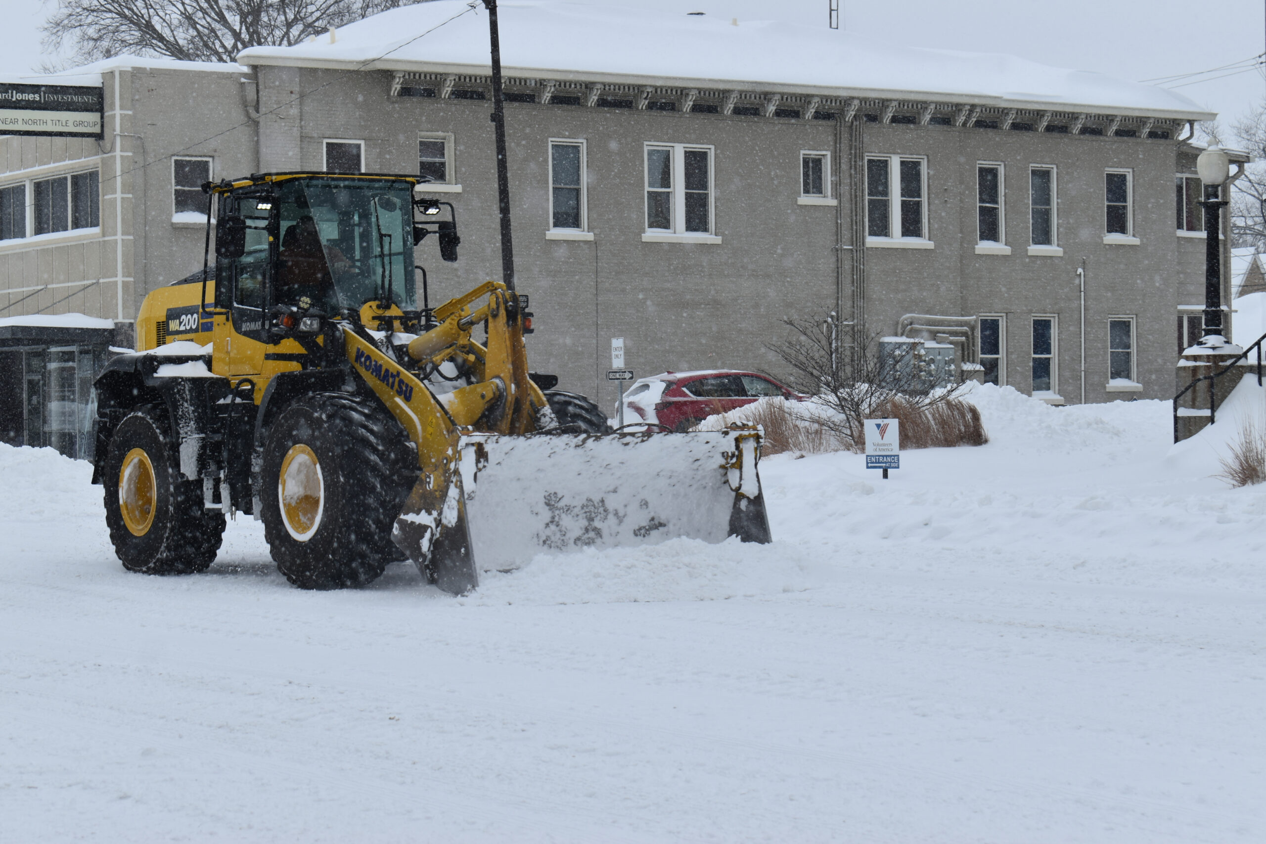
Bartholomew County’s travel status is “warning” meaning only emergency personnel only are supposed to be on the roads.
Bartholomew County and Columbus offices are working remotely on Monday with essential personnel reporting in person.
BCSC and Flatrock Hawcreek schools on E-Learning for Monday.
Snow
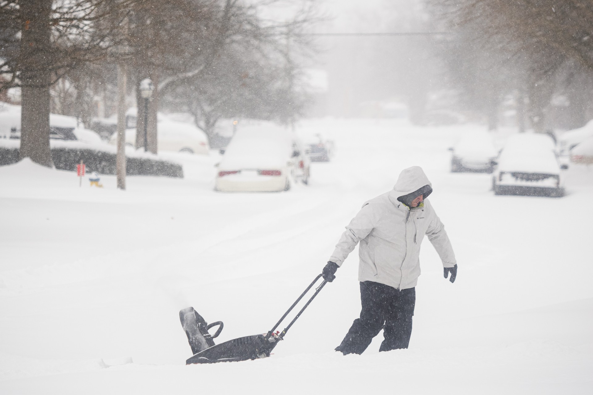
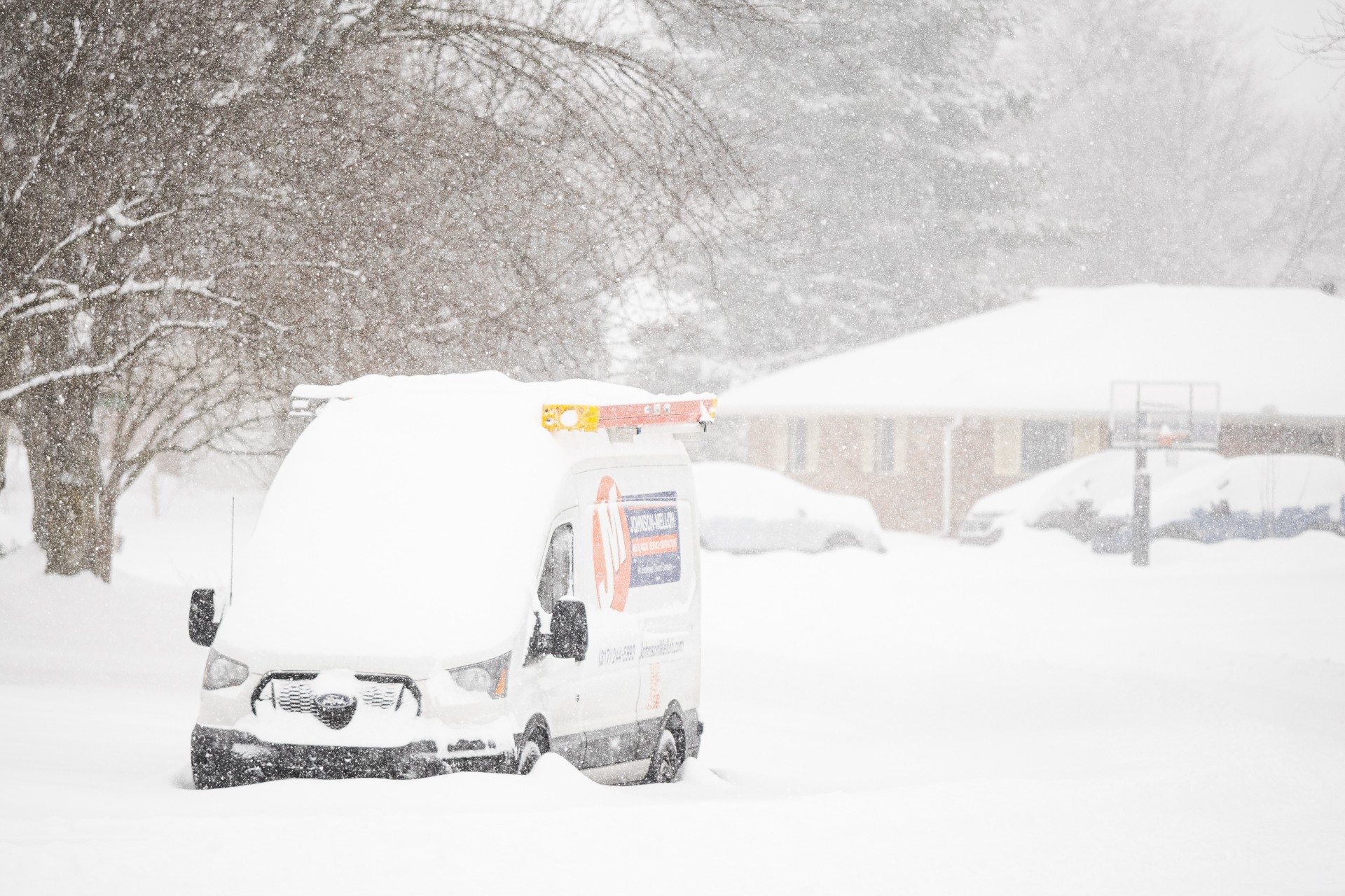
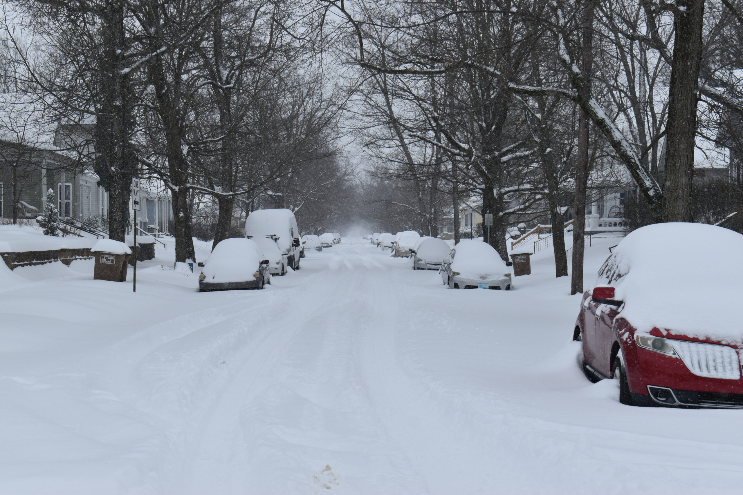
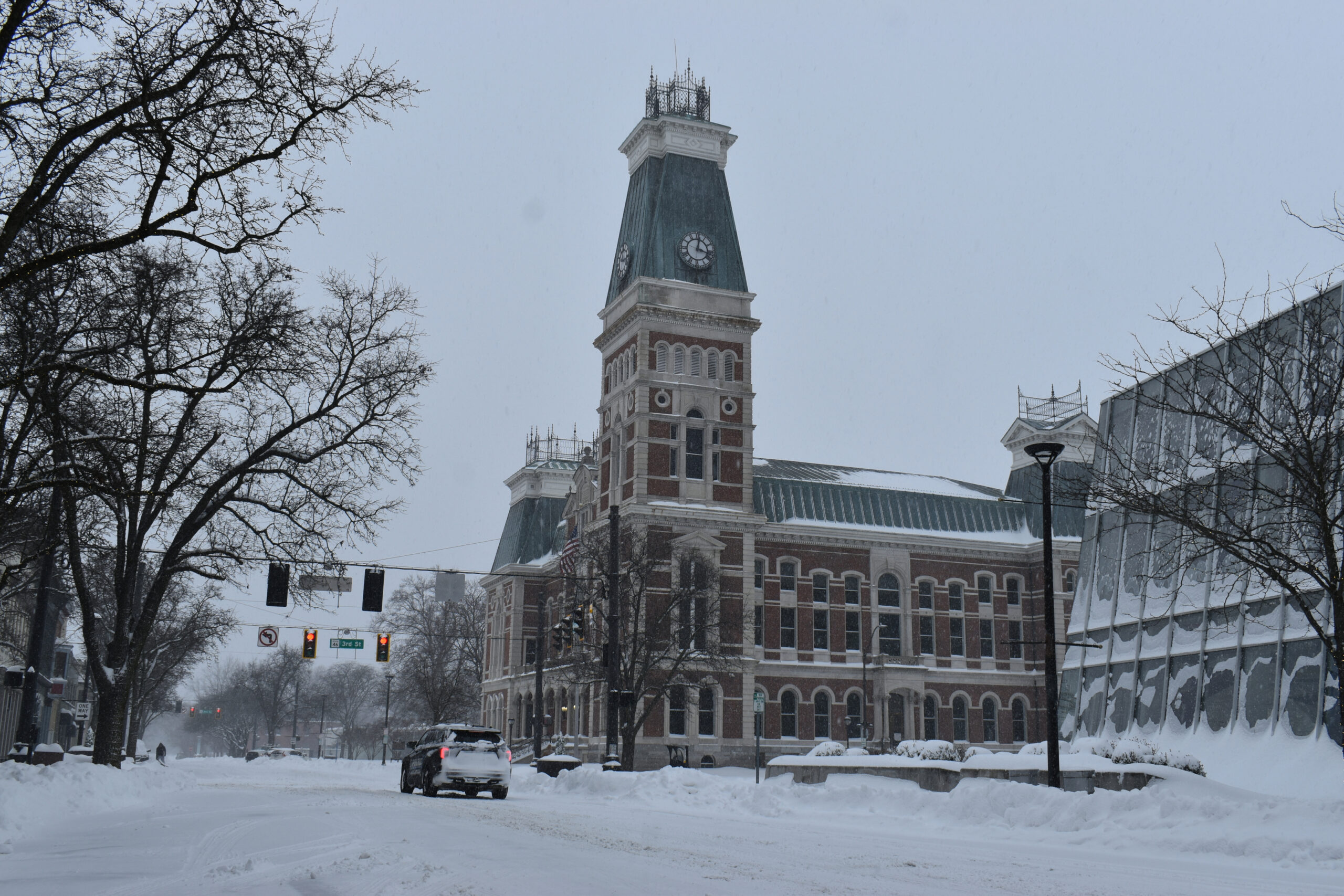
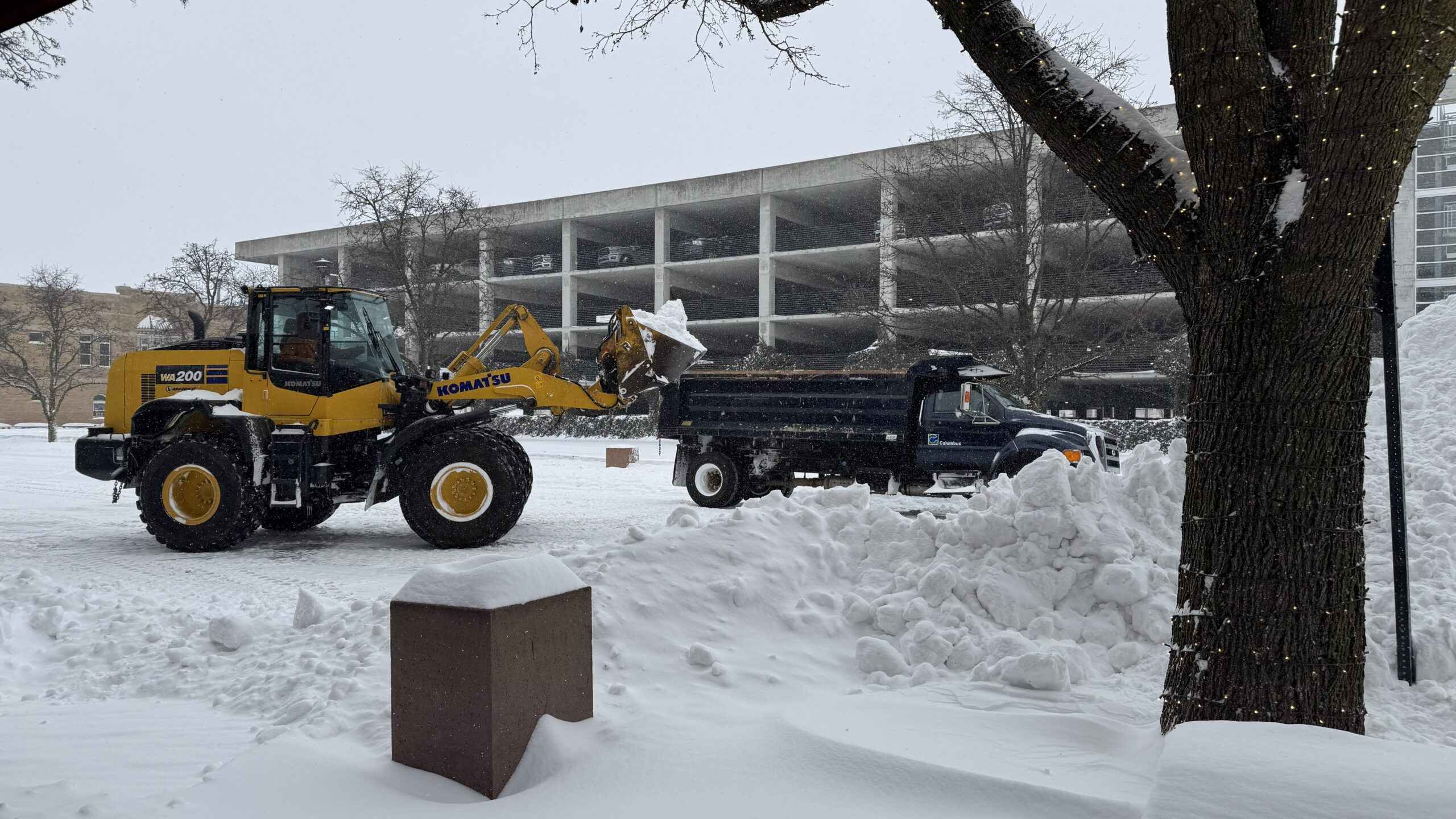
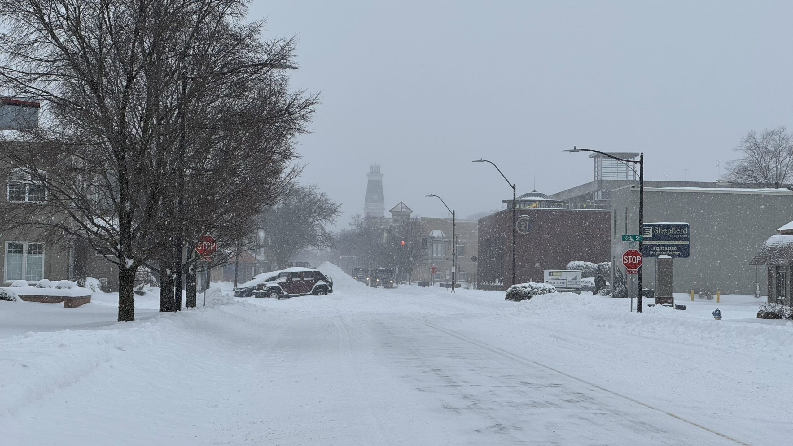
- Snowfall totals 13-16 inches have fallen across the county. The National Weather Service says Bartholomew County’s total is 14.5 inches.
- 1-2 inches of additional snow expected through Sunday night, tapering off after 6 p.m.
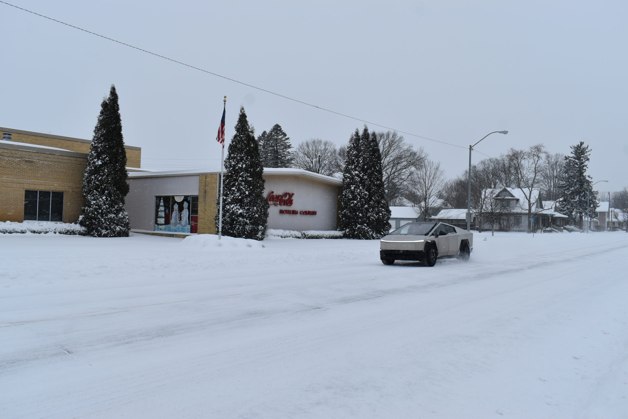
- Hazardous travel conditions are occurring, including reduced visibility and snow-covered roads.
- Blowing and drifting expected Sunday night into Monday morning. Winds 20-25 mph possible.
Temperatures
- Highs through next week single digits to teens.
- Wind chills often below zero through the remainder of the week.
- Sub-freezing temperatures to continue into early February which may lead to ice jams.
Wind Chills
- Wind chill values as low as -18° to -25°.
- Frostbite can occur on exposed skin in as little as 30 minutes.
- Sub-zero wind chills may persist into mid-week next week.
Timing
- Sunday – Snow continues, tapering off after 6 p.m.
- Blowing and drifting snow Sunday night through Monday night.
Additional Details
- Arctic air arriving late this week will be reinforced by multiple Arctic cold fronts next week, prolonging the cold conditions.
- Rapid river ice formation and thickening is expected on area rivers and streams over the next week.
- With temperatures likely to remain sub-freezing through early February, ice may be fairly thick in spots by the thaw.
- Check road conditions with the INDOT Trafficwise Map at https://511in.org .
- Check statewide travel advisories at https://www.in.gov/dhs/travel-advisory-map/ .
What You Should Do
- Avoid unnecessary travel during periods of heavy snow.
- Dress in layers and limit time outdoors during dangerous cold.
- Prepare your vehicle with winter safety supplies.
- Check emergency kits and have extra food, water, and medications.
- Make sure pets have adequate shelter, food, and water. Bring them indoors if possible.
- Protect pipes from freezing. Open cabinet doors around plumbing, let cold water drip from the faucets, wrap insulation around pipes in unheated areas.
Please continue to monitor forecast updates as confidence increases, and plan accordingly for prolonged cold and potential winter weather impacts.
ORIGINAL STORY
Bartholomew County Emergency Management says a winter storm warning is in effect through 7 a.m. Monday. A cold weather advisory continues today.
The county’s travel status is “Warning,” meaning only emergency personnel only.
Columbus police said they have responded to about 30 “motorist assist” calls and are asking local residents to comply with the warning status and stay off the roads.
Snow
- Snowfall totals of 10-14 inches expected.
- Heaviest snow now through early Sunday afternoon.
- Snowfall rates of 1-1.5 inches/hour possible
- Hazardous travel conditions expected, including reduced visibility and snow-covered roads.
- Roads are snow covered with approximately 7-8 inches reported on the ground. Conditions will continue to deteriorate as heaviest snowfall is expected today.
- Blowing and drifting expected Sunday night into Monday morning. Winds 20-25 mph possible.
Temperatures
- Highs through next week single digits to teens.
- Wind chills often below zero through the remainder of the week.
- Sub-freezing temperatures to continue into early February which may lead to ice jams.
Wind Chills
- Wind chill values as low as -10° to -20°.
- Frostbite can occur on exposed skin in as little as 30 minutes.
- Sub-zero wind chills may persist into mid-week next week.
Timing
- Sunday – Snow continues, tapering off Sunday evening into overnight/Monday morning.

Additional Details
- Arctic air arriving late this week will be reinforced by multiple Arctic cold fronts next week, prolonging the cold conditions.
- Rapid river ice formation and thickening is expected on area rivers and streams over the next week.
- With temperatures likely to remain sub-freezing through early February, ice may be fairly thick in spots by the thaw.
- Check road conditions with the INDOT Trafficwise Map at https://511in.org .
- Check statewide travel advisories at https://www.in.gov/dhs/travel-advisory-map/ .
What You Should Do
- Avoid unnecessary travel during periods of heavy snow.
- Dress in layers and limit time outdoors during dangerous cold.
- Prepare your vehicle with winter safety supplies.
- Check emergency kits and have extra food, water, and medications.
- Make sure pets have adequate shelter, food, and water. Bring them indoors if possible.
- Protect pipes from freezing. Open cabinet doors around plumbing, let cold water drip from the faucets, wrap insulation around pipes in unheated areas.


