
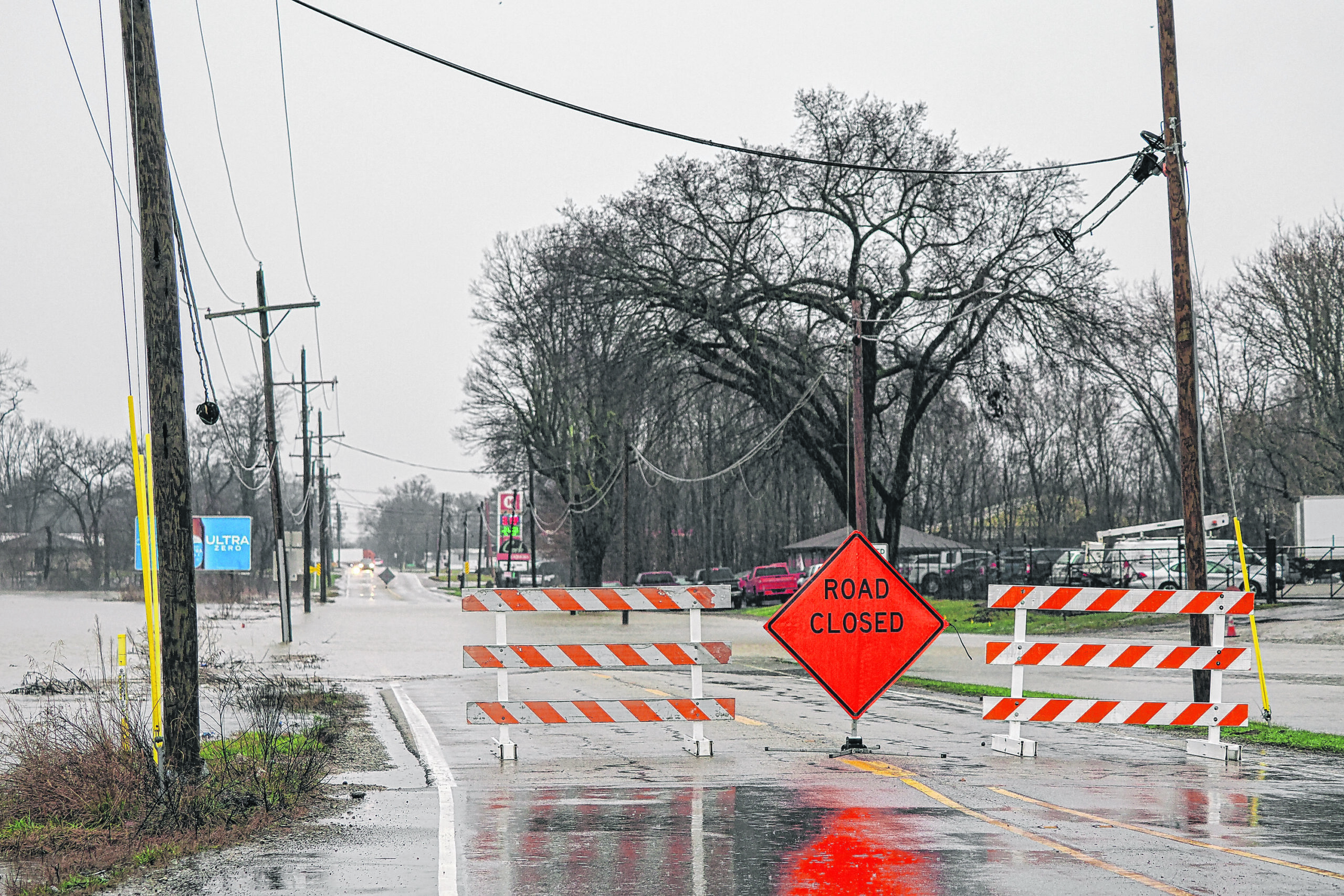
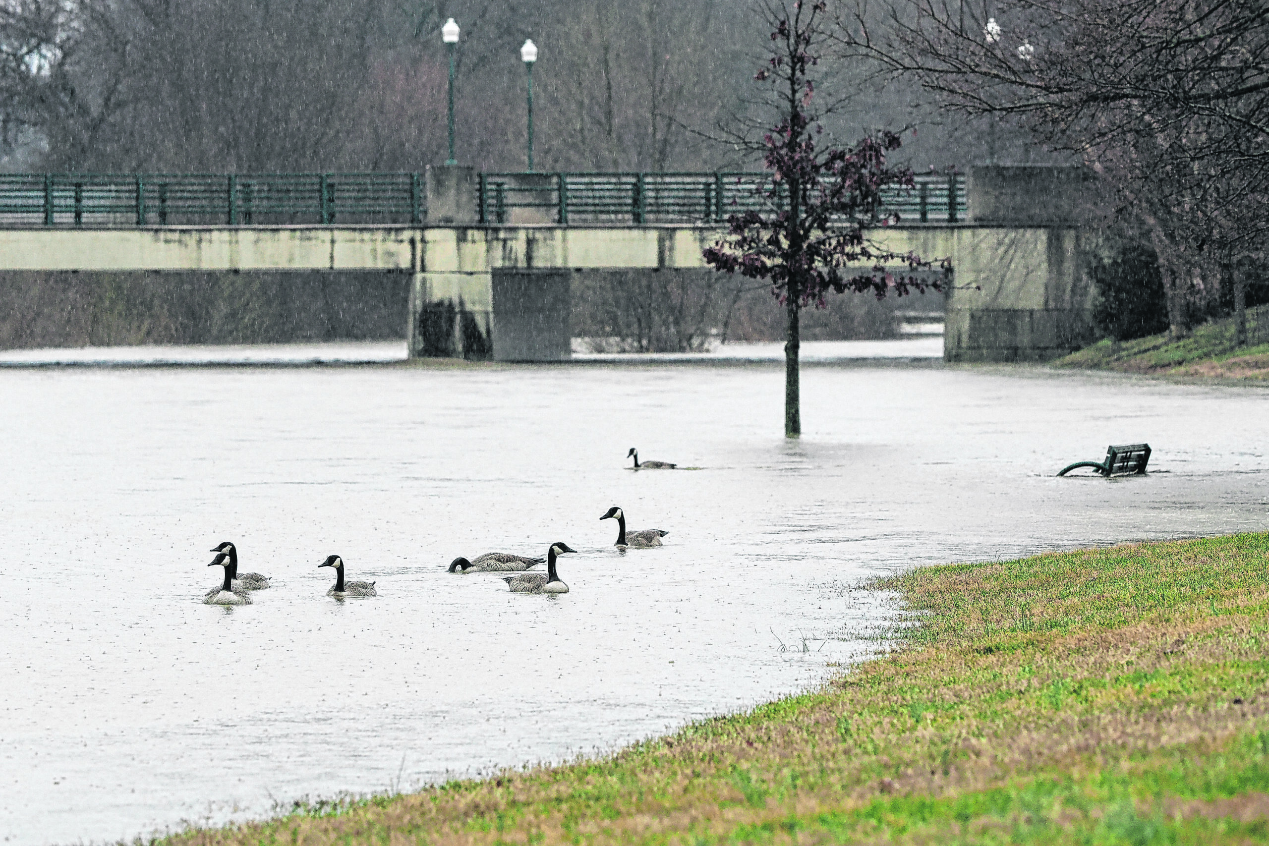
Mike Wolanin | The Republic Rocky Ford Road is closed due to high water in Columbus, Ind., Wednesday, March 4, 2026.
11:30 a.m. update
High Water Reported:
250S – between 400W and 475W
400W – between 200S and 250S
Water is moving into Candlelight
300S – between 275W and 400W
250 N/1140 E – Anderson Falls area
Roads Closed:
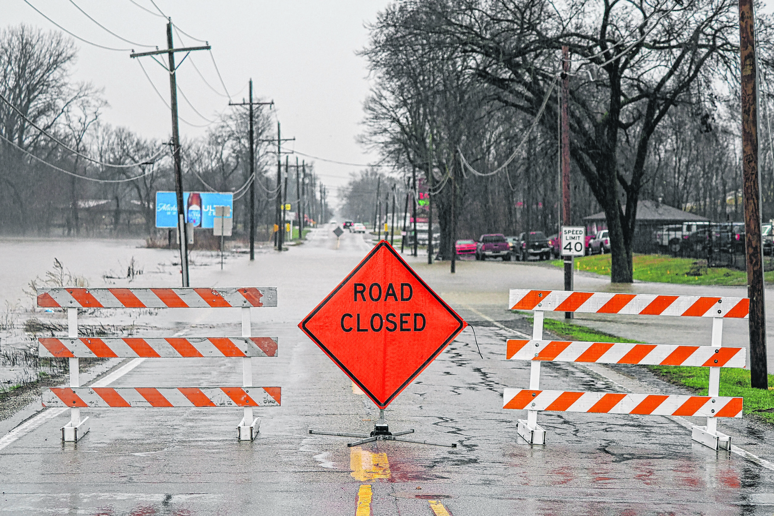
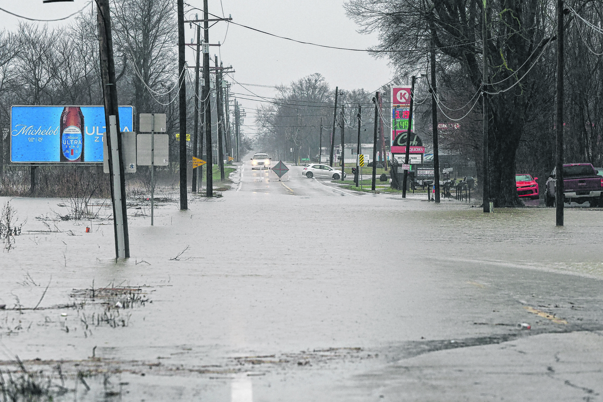
Jonesville Road (State Road 11), between State Road 46 and Garden City
South Gladstone Avenue curves
475W between Carr Hill and 250S
Rockyford – between Longshore and Marr Rd.
S 600E/E 850S – 600E Closed
400N – Tinkey Bridge
800S – between Azalia and State Road 11
W Baker Hollow Road closed at 700W
Southern Crossing, between Jonesville Road (State Road 11) and 150E
Jonesville Road (State Road 11), between Southern Crossing and 550S
400W/850S
800S – between Base Road and 60E
300E – between 500S and 600S
Tellman Road – between Indianapolis Road and 200W
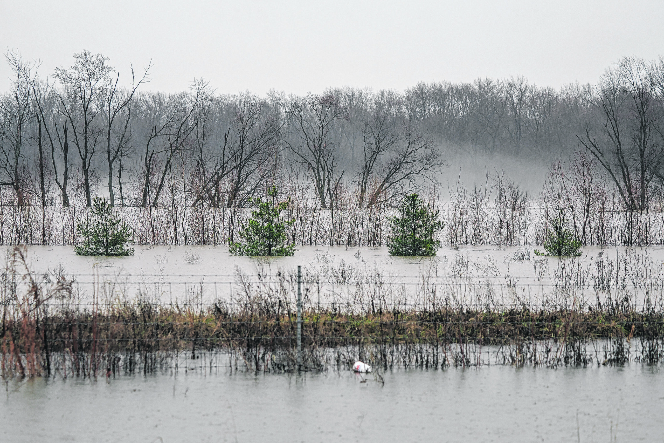
Recreation Areas / People Trails:
The following areas are affected by flooding:
Several sections of the People Trails
McCullough’s Run Park
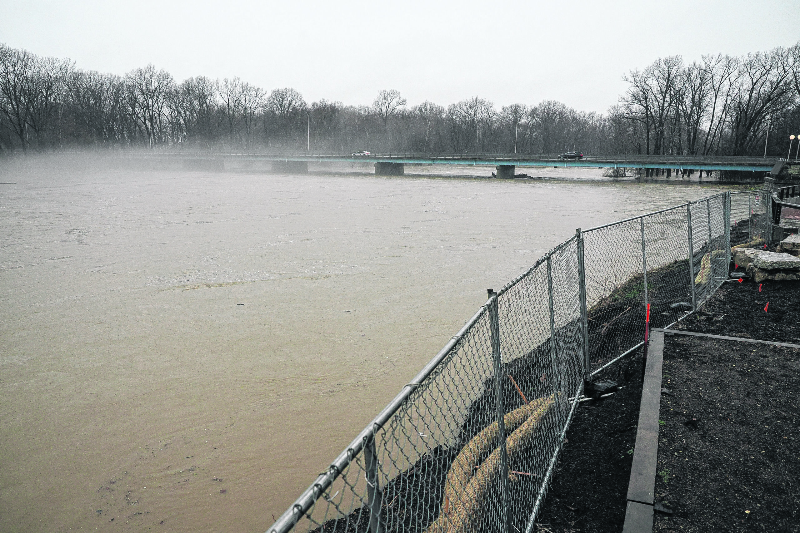
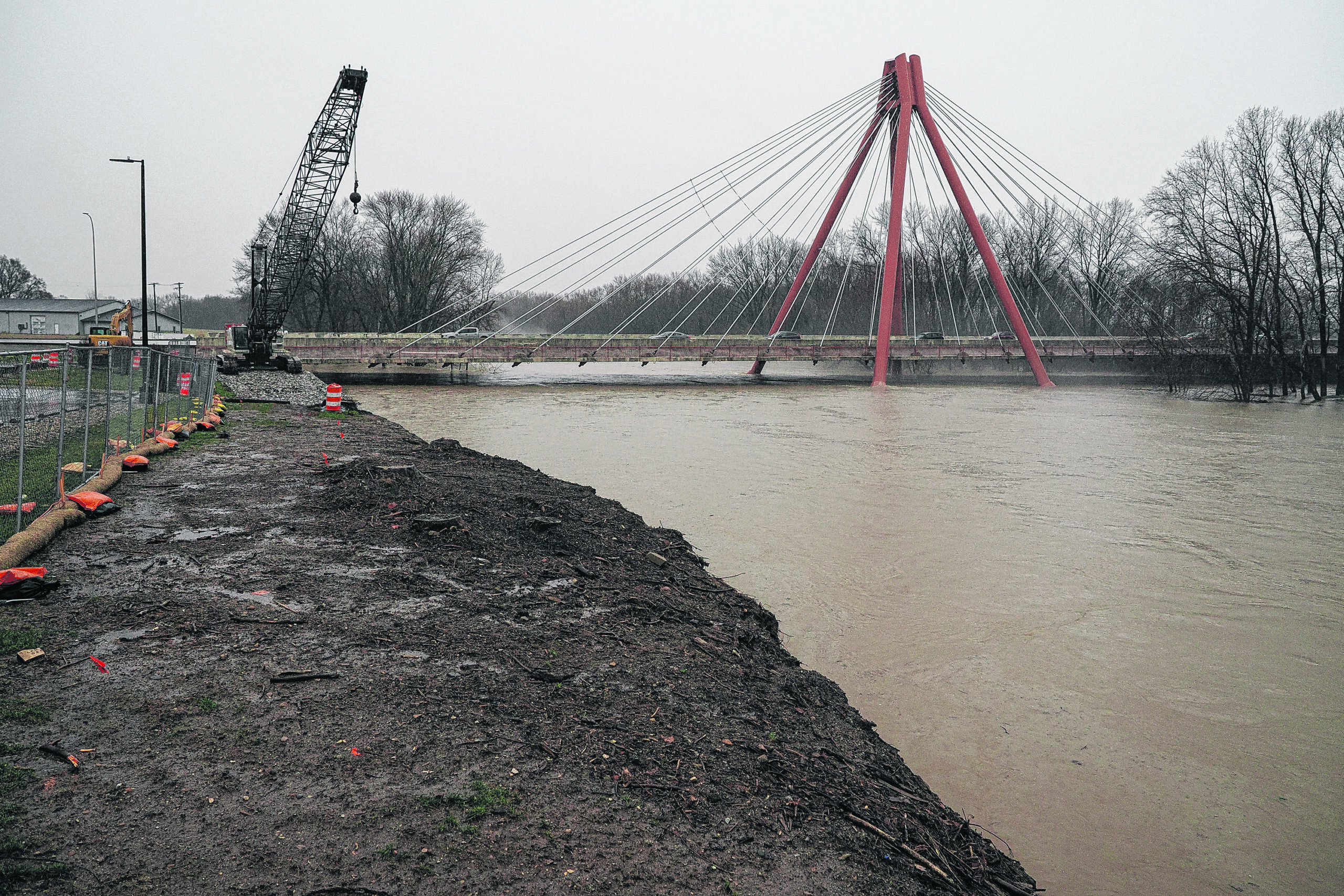
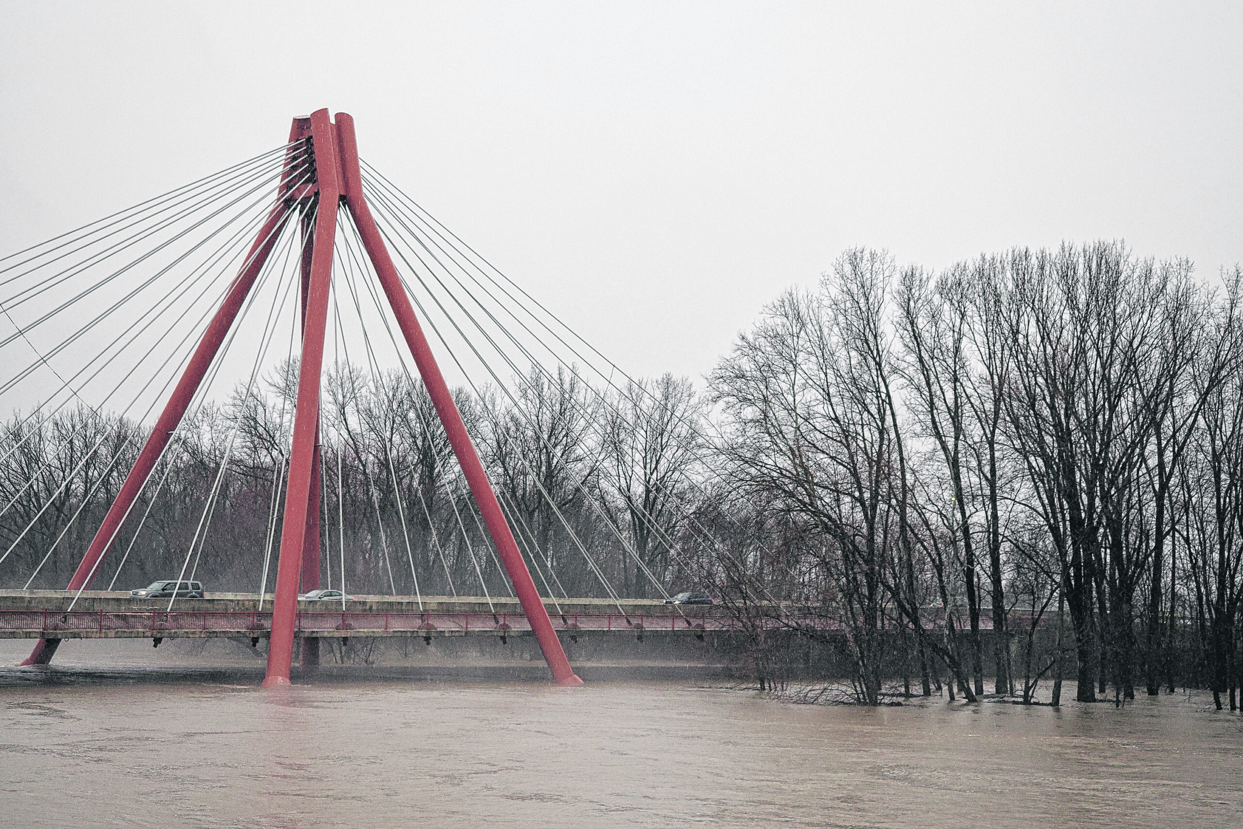
Mill Race Park
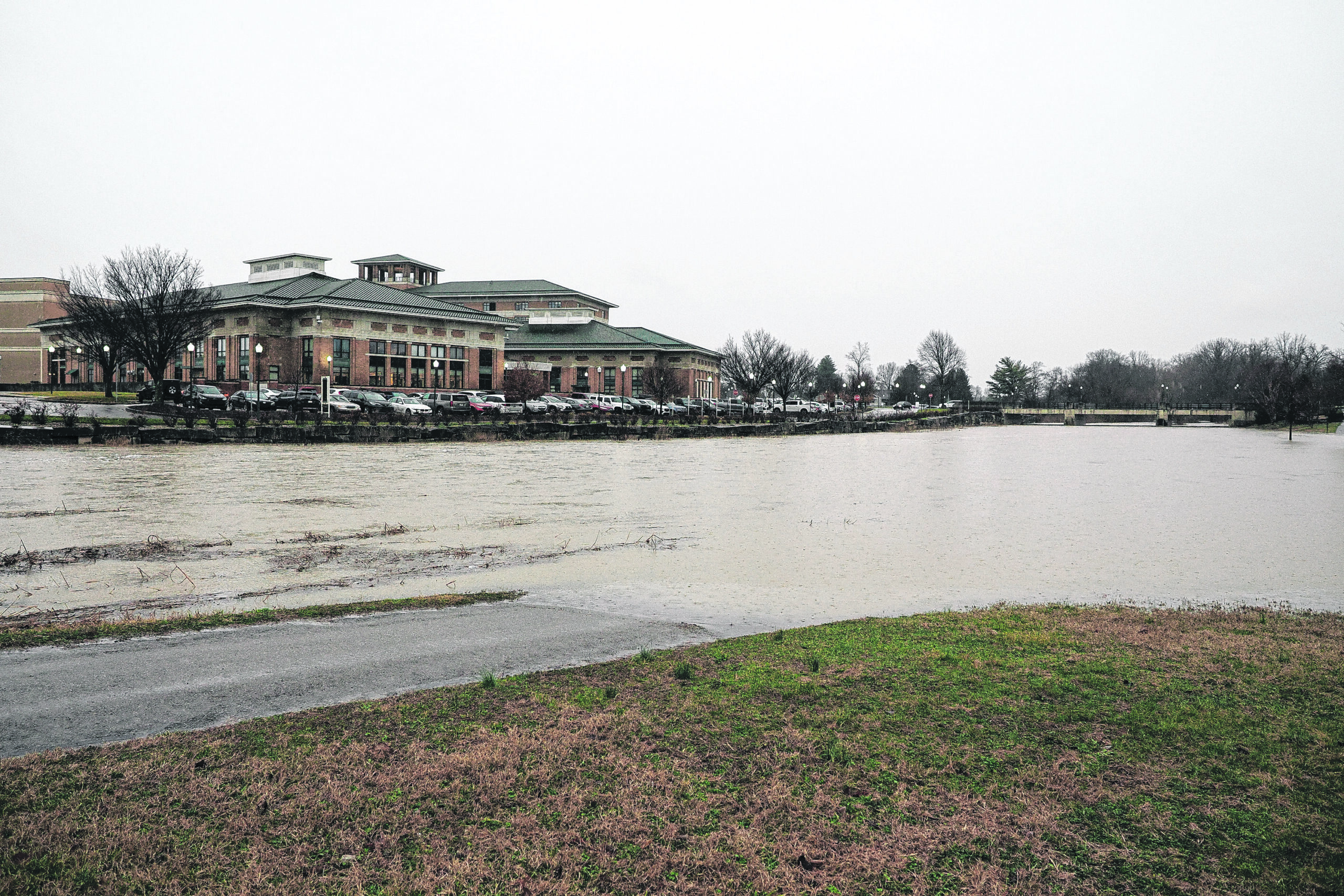
Noblitt Park
Tannehill Fishing Site
9 a.m. update
COLUMBUS, Ind. — The following high water and road closed listings have been released by Bartholomew County Emergency Management:
High water:
250S – between 400W and 475W
400W – between 200S and 250S
Water is moving into Candlelight
300S – between 275W and 400W
Tellman Road, between Indianapolis Road and 200W
250 N/1140 E – Anderson Falls area
Roads Closed:
Jonesville Road (State Road 11), between State Road 46 and Garden City
South Gladstone Avenue curves
475W between Carr Hill and 250S
Rockyford – between Longshore and Marr Road
S 600E/E 850S – 600E closed
400N – Tinkey Bridge
800S – between Azalia and State Road 11
West Baker Hollow Road closed at 700W
Southern Crossing, between Jonesville Road (State Road 11) and 150E
Jonesville Road (State Road 11), between Southern Crossing and 550S
400W/850S
800S – between Base Road and 60E
Recreation/People Trails:
Several sections of the People Trails are closed.
McCullough’s Run Park
Mill Race Park
Noblitt Park
Tannehill Fishing Site
ORIGINAL STORY
COLUMBUS, Ind. — The following road closings and reports of high water, as of 4:25 a.m. Thursday.
High water:
Central Avenue/Broadmoor
250S – between 400W and 475W
400W – between 200S and 250S
Water is moving into Candlelight
300S – between 275W and 400W
Tellman Road, between Indianapolis Road and 200W
250 N/1140 E – Anderson Falls area
Roads Closed:
Jonesville Road (State Road 11), between State Road 46 and Garden City
Gladstone Avenue curves
475W between Carr Hill and 250S
Rockyford – between Longshore and Marr Road.
S 600E/E 850S – 600E Closed
400 N – Tinkey Bridge
800S – between Azalia and State Road 11
W Baker Hollow Road closed at 700W
Southern Crossing, between Jonesville Road (SR11) and 150E
Recreation/People Trails:
Several sections of the People Trails are closed.
McCullough’s Run Park
Mill Race Park
Noblitt Park
Tannehill Fishing Site


